For my third Great Walk, I chose the Routeburn Track. This trip had a lot of firsts for me: first major hike on the South Island, first “one way” trek and first multi-day hike by myself!
As with any hike there was planning involved, but since I live locally I was able to book my campsites according to weather forecasts. This is one of the most popular Great Walks and offers more hut beds than other trails. Most of the huts were sold out at $65/night, so I opted for camping at $20/night!
As it is a one way hike, I had to book transportation from Downtown Queenstown to the start of the track, and then the end of the track back to Queenstown. This cost $125.

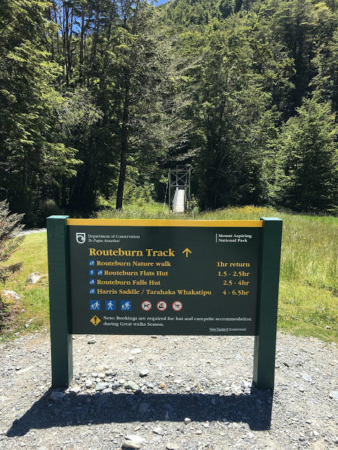
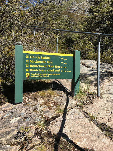
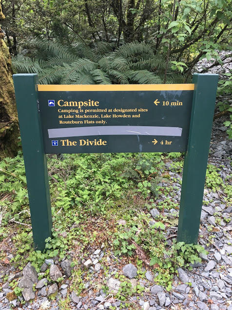
The recommended direction is from Routeburn Shelter to the Divide over 3 days and 2 nights. There are 3 huts on the trail, but only 2 campsites. This meant that my first day was the shortest distance, and my second day the longest.
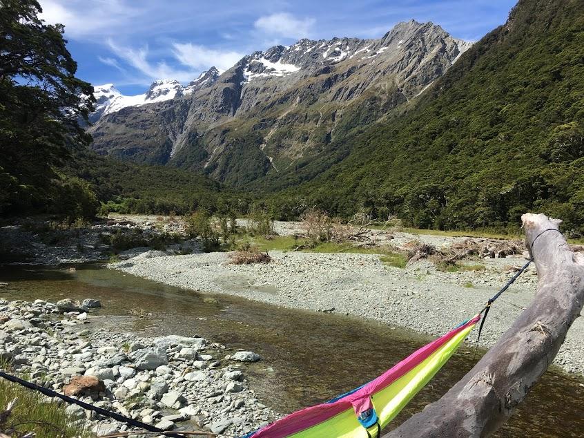
My first night I set up camp at Routeburn Flats. It took me an hour and 50 minutes to trek 7.5 km from Routeburn Shelter.
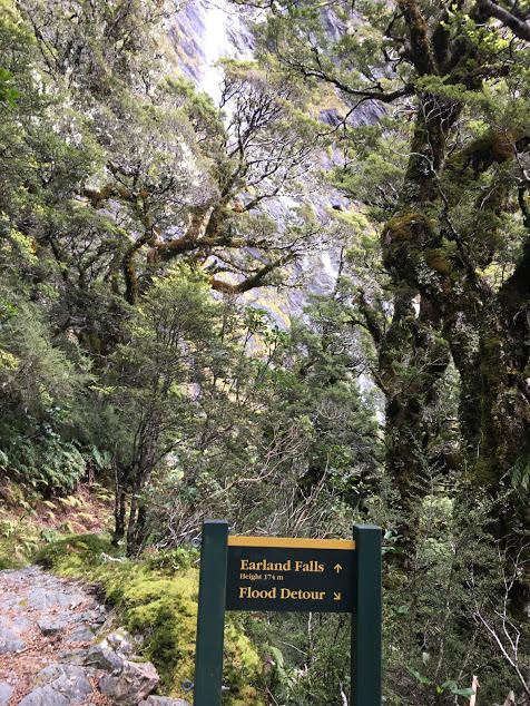
As the second day was my longest with 13.6 km’s to walk, mainly uphill, I left the Flats before 9am and headed to the Falls.
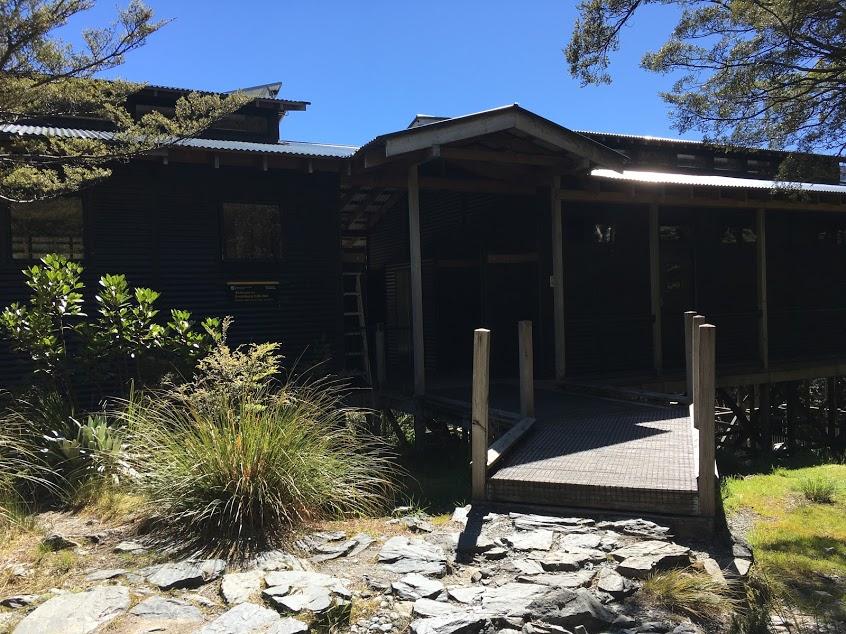
It took me an hour to reach the Falls Hut. One reason why these huts are so expensive is because they have flushing toilets!
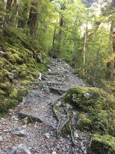
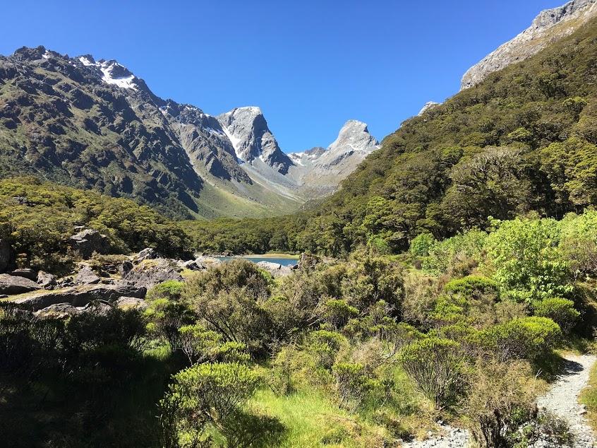
The section going up the Falls to the Alpine Flats before another climb to the Saddle was on very uneven rock & could be dangerous in wet weather. Take your time!
Do take a breather and enjoy the views, especially as they may be behind you.
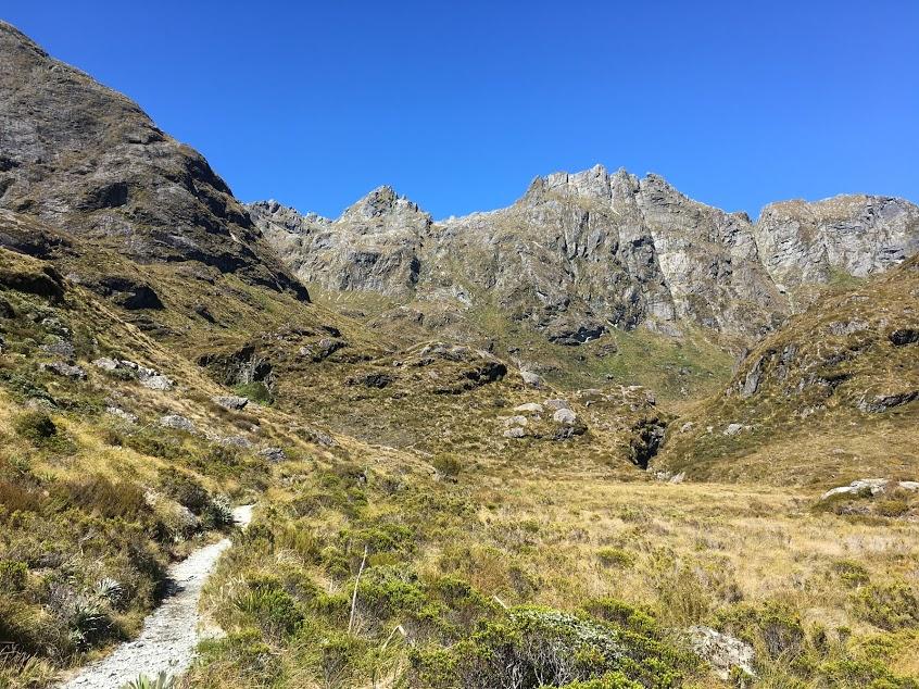
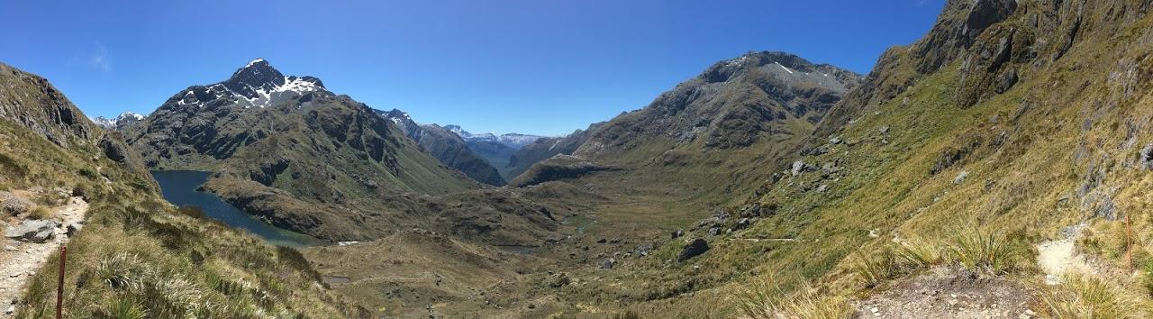
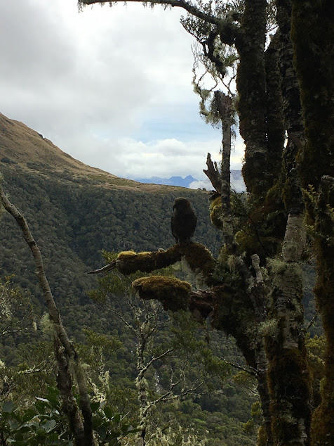
The Apline Flats reminded me of the Northern Circuit in terms of colors & bush. This is an avalanche prone area in the Winter.
2 hours later saw me at the tallest point on the Walk, Harris Saddle. I was really lucking out with the weather, however as soon as I got to the shelter to each lunch a large cloud system moved in.
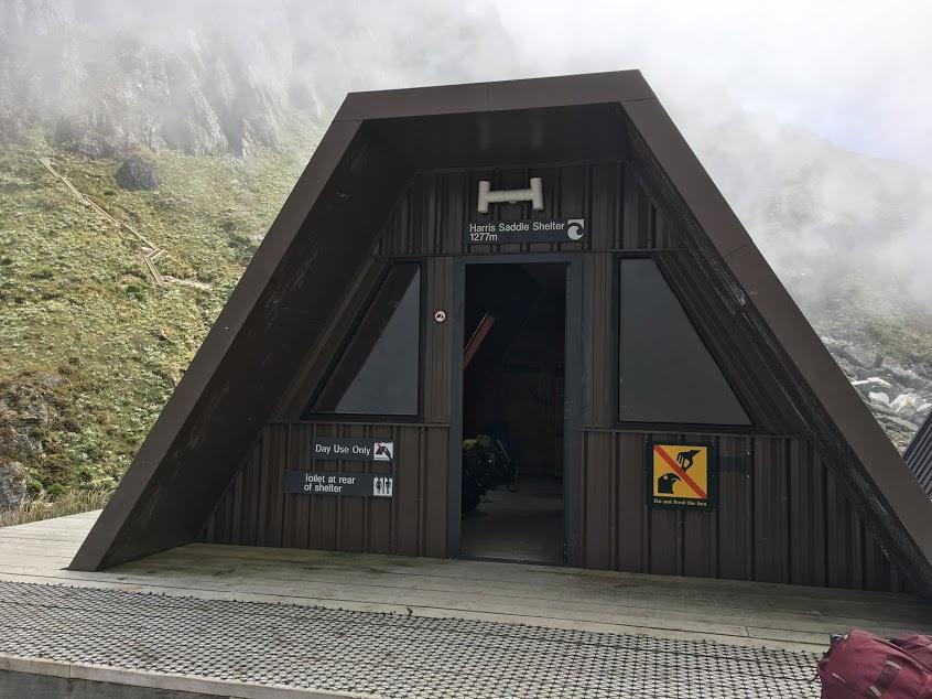
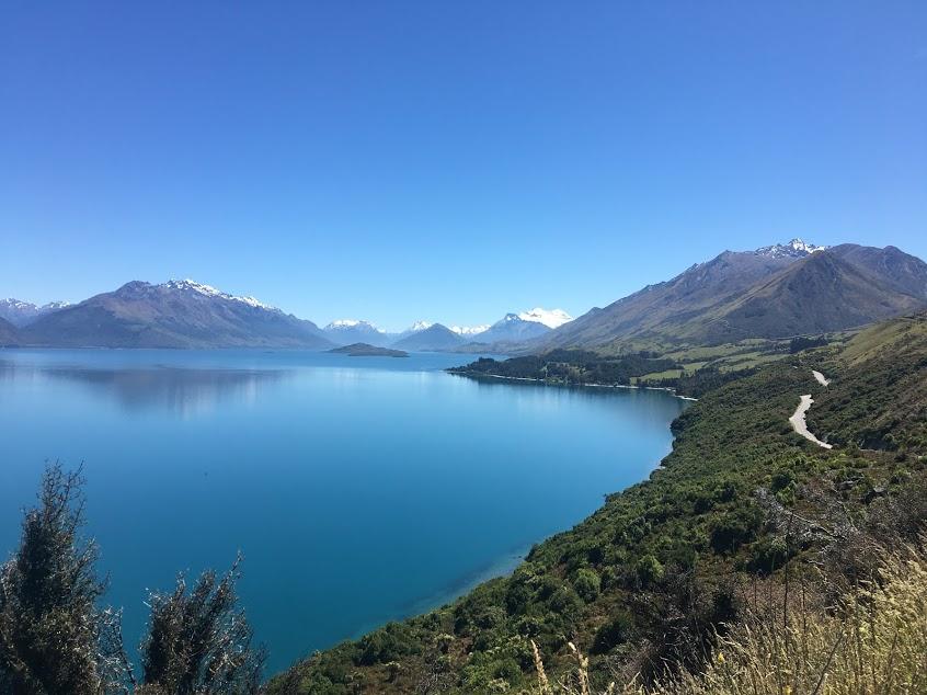
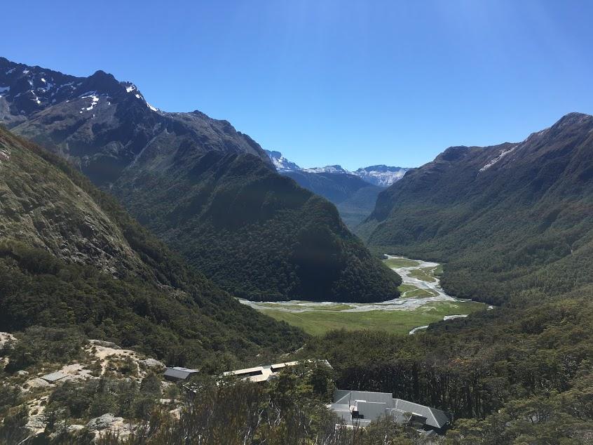
The Routeburn actually starts in one National Park, Mount Aspiring, and finishes in another, Fiordland. The Saddle is the border of these 2 parks and offers amazing views on a clear day.
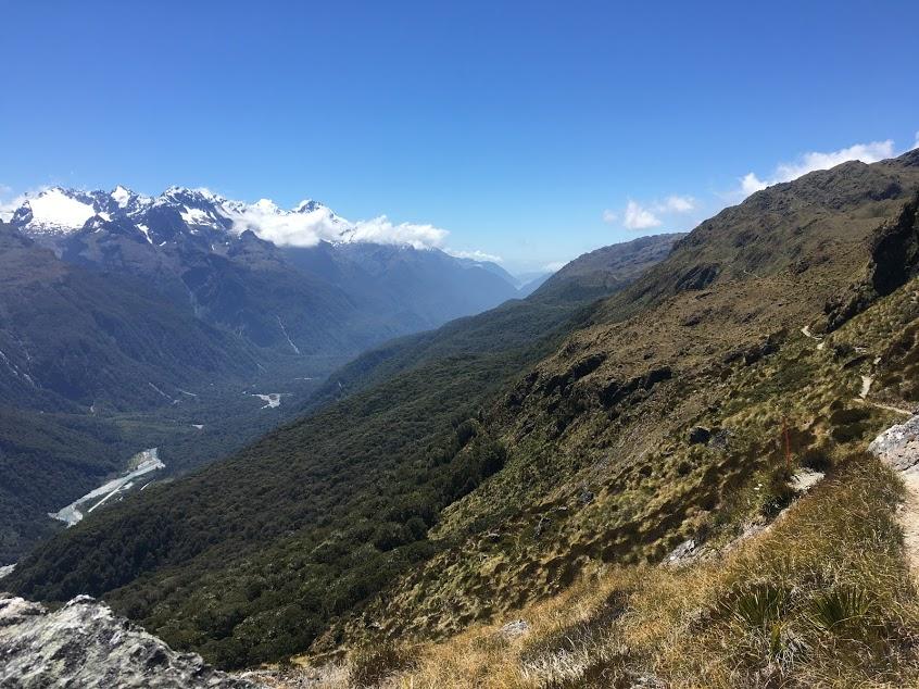
The last section of Day 2 was from the Saddle to Lake Mackenzie. This part took me 3 hours as there were several switchbacks going downhill.
The campsite at Lake Mackenzie is a further 10 minutes from the hut but offers better views!
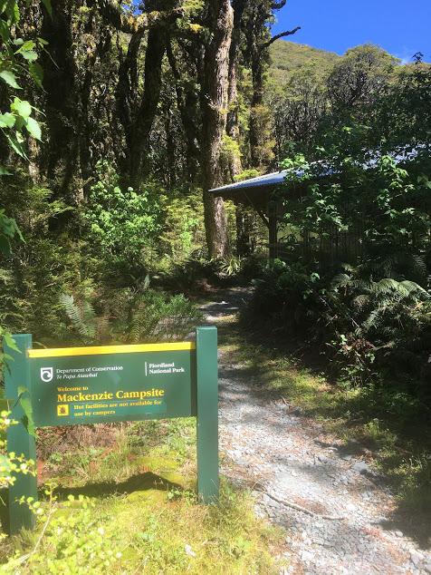
When camping at the Flats you can set up camp anywhere, versus at Lake Mackenzie where there are specified spaces.
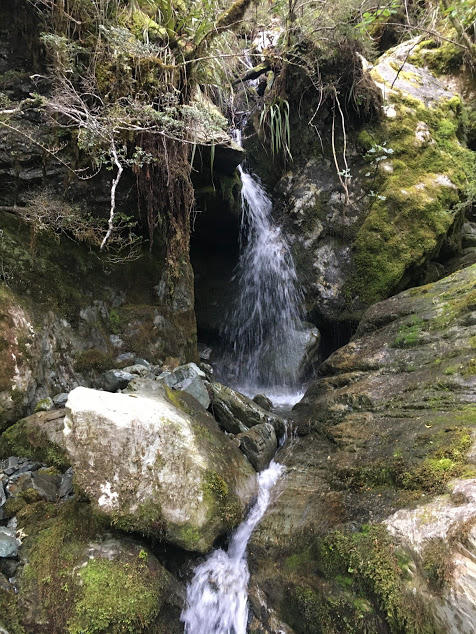
My 3rd and final day saw me crossing heaps of waterfalls. Fiordland is the land of 1000 waterfalls after all!
12km on the last day took me 3.5 hours. I again left before 9am as my shuttle was to pick me up at 3:15pm and I did not want to miss it.
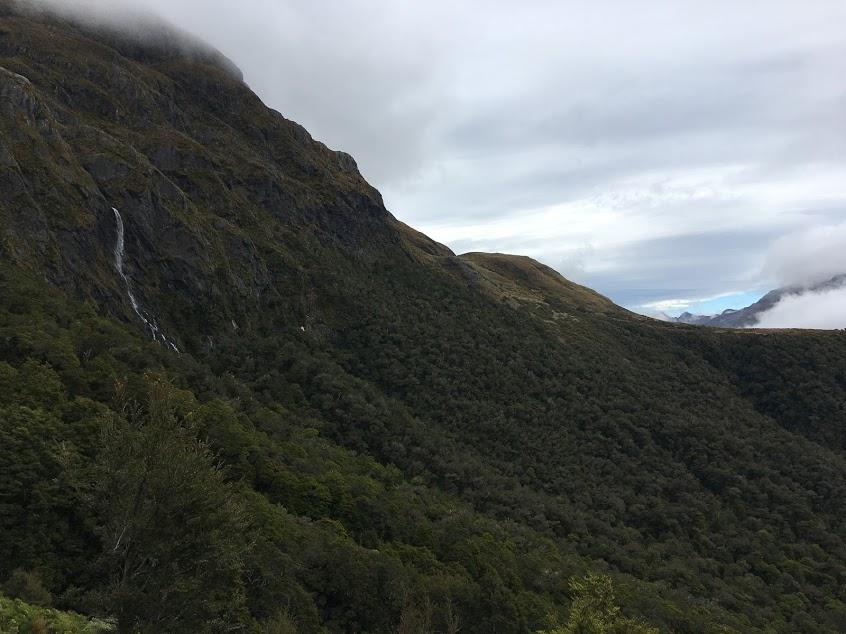
Rain was forecasted but instead it was the coolest day with the most cloud cover.
Overall I enjoyed this hike. It was challenging carrying everything myself but a very do-able distance in 3 days (33.1km in total). There are 2 side hikes you can take, Conical Hill at the Saddle and Key Summit, however I did not have the energy to tackle those.
I would actually recommend doing the Routeburn from the Divide to the Routeburn Shelter. I felt you have better views this direction, versus always turning around to see the mountain range, along with longer days at the beginning when you have more energy.
TIP: The terrain can be challenging in wet weather so feel more confident with some hiking poles.
Have you completed a long hike on your own?