The Whanganui Journey is one of 3 Great Walks on the North Island. It is the only Great Walk in the country that is actually a canoe or kayak ride, and thus is referred to as a Journey. Most people do 2 nights and 3 days, but Mark and I wanted the entire experience: 4 nights and 5 days.
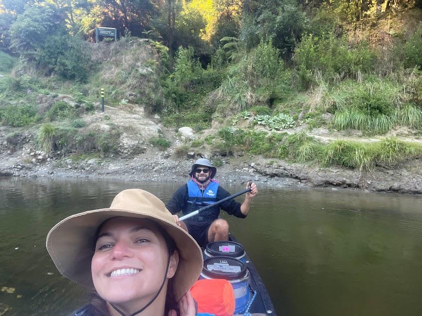
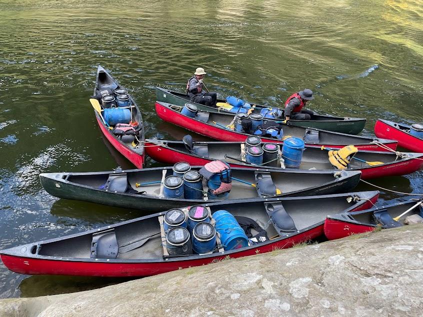
145km one way, Mark and I rented our canoe from Taumarunui, where the journey starts. Our friends who planned Lake Waikaremoana also organized a group for 3 days. We all rented from this company, which made it easy on the last day.
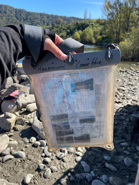
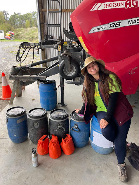
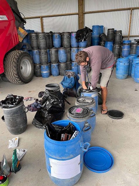
Before the rental companies let you on the river, they do a safety briefing. This is to tell you how to maneuver a canoe, what to do if you capsize and general advice on the river. They give laminated maps of each day which is handy when nearing campsites as the Department of Conservation signs are quite well camouflaged. The company also asks that you pack your barrels either the night before, or directly before the briefing. This is so you can get on the water quickly, especially if you do the 3 day as it is about an hour and a half drive South. Since we were doing the 5 day, we started at the canoe company’s jetty at the bottom of their property.
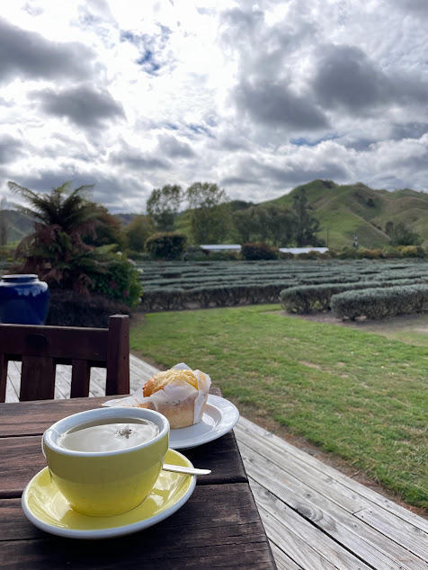
We were a bit nervous of the water levels considering there was a cyclone hitting the North Island. Luckily it missed the River, however it did bring clouds and wind. One benefit of doing the 5 day meant we could stop at a cafe on the first day. This was a perfect way to warm up and get what we thought would be our final proper meal for a few days.
As with all NZ Great Walks, you need to book your camp site or hut. The first night we were booked to stay at Ohinepane which is 21km from where we started. This is about 4.5 hours, or 5 hrs with the cafe stop. However, due to river conditions being low for this time of year, both the cafe staff and our canoe company said we should try for the next campsite, Poukaria. They noted that DOC rangers are lenient on your location, “as long as you have a booking it’s fine,” especially on the first 2 days of the journey as it is not as busy.
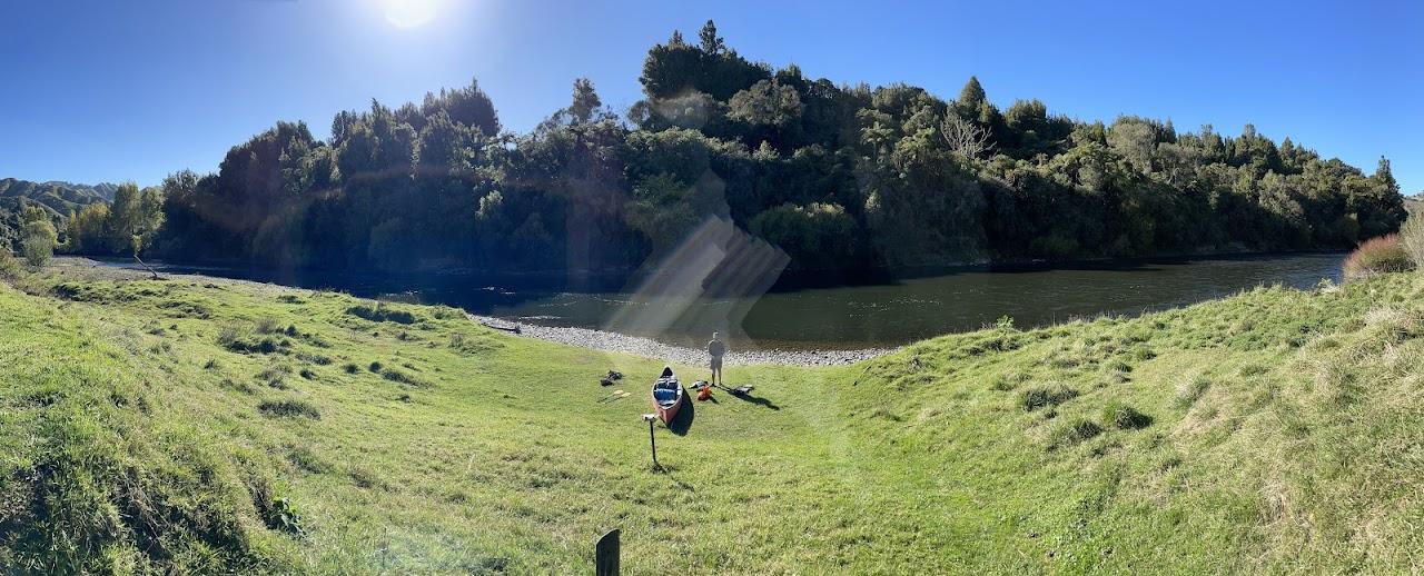
About 3 hours after the cafe we reached the first campsite. We were the only ones which was nice, but we were freezing after falling in the water after hitting some rapids!
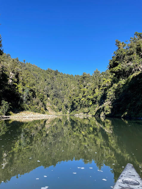
The first day is known to have a lot of rapids. Although rain was expected around the country, water levels were very low due to a hot & dry summer, which made the rapids worse.
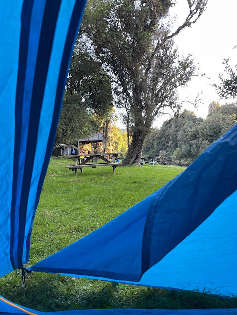
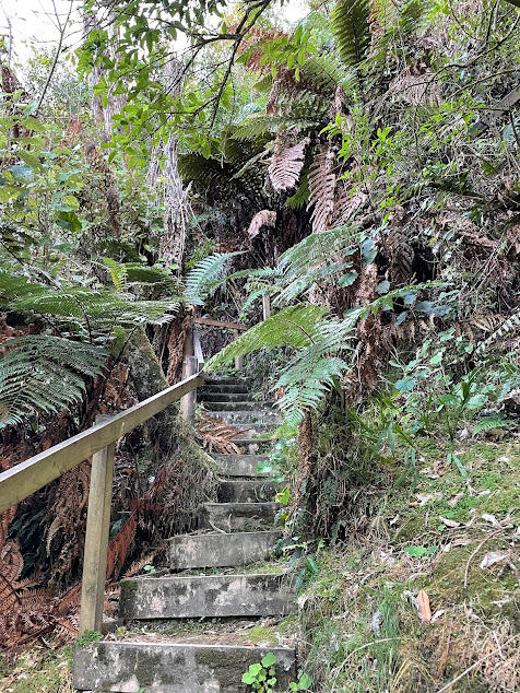
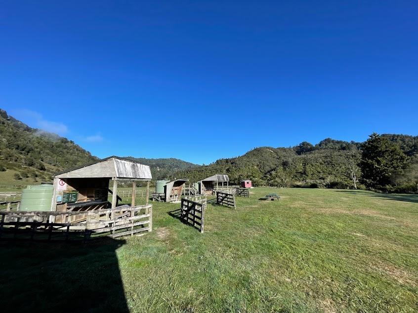
All of the campsites and huts are a bit of a hike up a hill due to the river rising when it does rain. You need to make sure you tie up your canoe before bringing up your barrels and setting up camp.
The first day was a lot of farmland, however midway through the second day it began to get very remote.
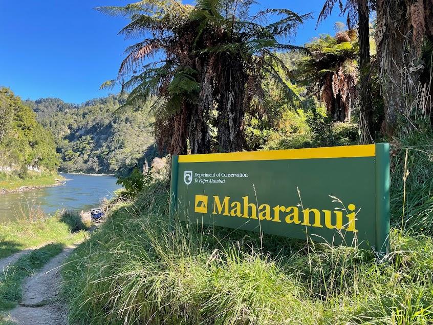
Our second day we took a lunch break about 3 hours in at Maharanui. This was another campsite that also had a private resort.
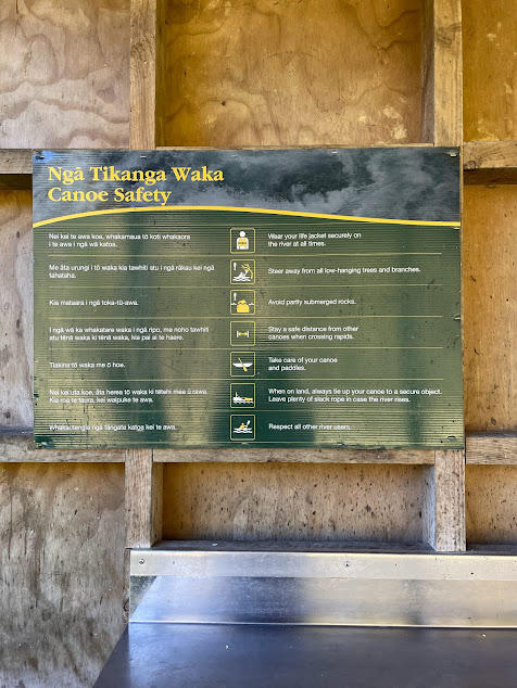
As you can see, the DOC signs do blend in with the environment. This is where the maps come in handy. What I did appreciate were the canoe safety signs at each stop. Most people in New Zealand have never canoed, let alone signed up for a multi-day trip! Mark has some experience, and I only had 1 bad experience in High School, so it did take us some getting used too.
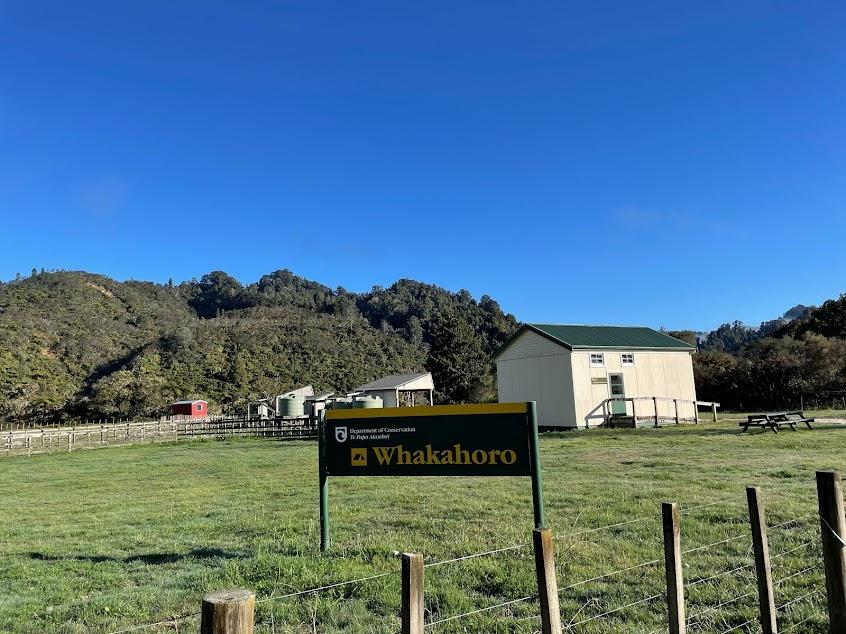
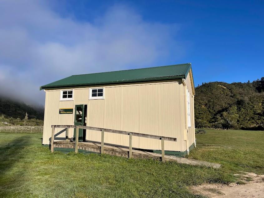
About an hour later we reached our first hut of the trip: Whakahoro. Only one other couple was with us, plus 1 couple in a tent outside. It went down to 2 degrees C that night, so we were very happy to be inside!
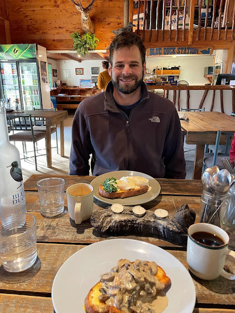
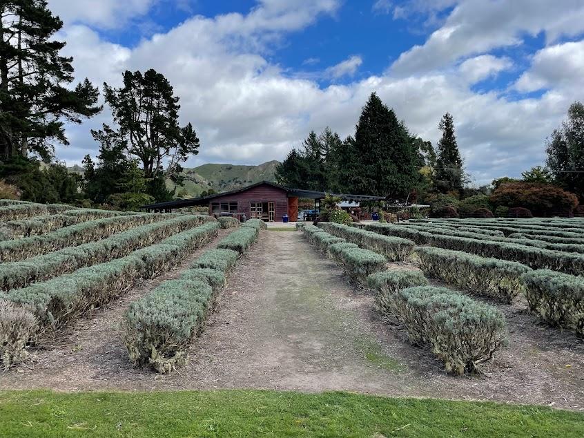
We were also pleasantly surprised to find that there was a cafe across from the hut! We got a warm breakfast, and this was the last proper meal of the trip. The cafe was called Blue Duck Station and is also a hostel as Whakahoro is the start of another walking track and several bike tracks around Whanganui National Park.
Whakahoro is also where more people start the 3 day journey so we were very excited to catch up with our friends. From here South, there were heaps of caones and even jetboats.
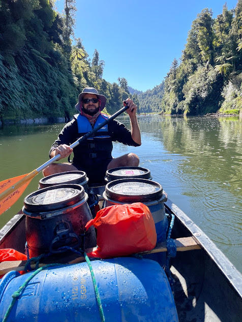
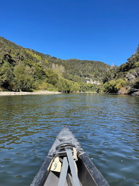
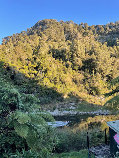
There are 2 places to stop for breaks or camping sites before the popular John Coull Hut. Mangapapa was about 2 hours while Ohauora was another 3 hours. The final 2 hours to the hut was in a deep gorge.
Although beautiful, it was pretty cold since we were not in daylight savings and in the shadows. Mark and I decided to go full speed and we got to John Coull in an hour and fifteen from Ohauora! This not only warmed us up, but allowed us to get good spots in the bunks and warm up by a fire.
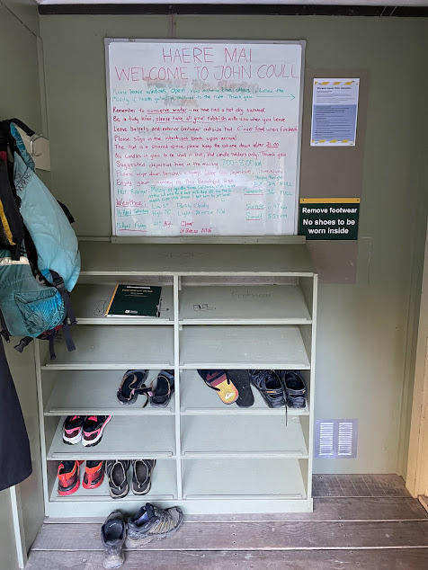
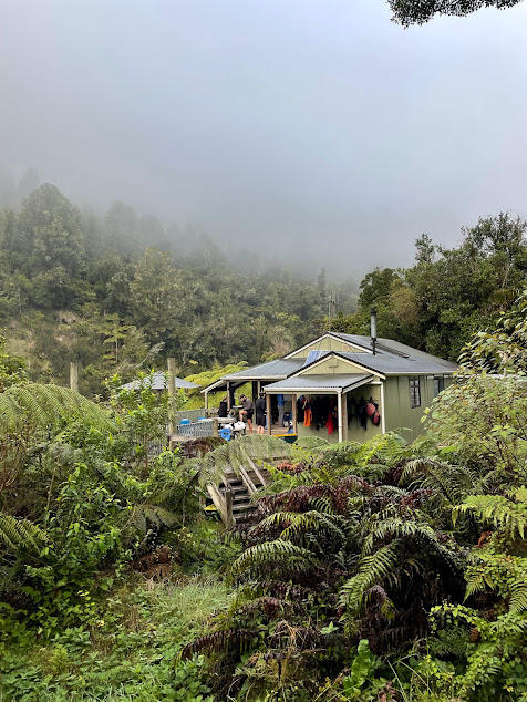
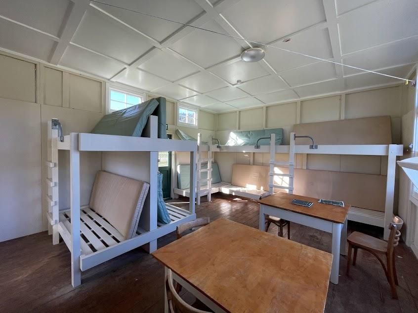
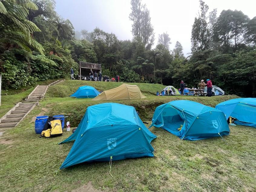
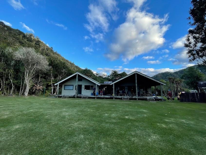
This hut has 24 bunks and we were surprised to see gas stoves. The warden had a brief about the river for the following day, and pointed out long tailed bats when they came out at 5:45pm.
In order to get to the next hut before dark, we had to leave by 8am. From there, it was a leisurely 3 to 3.5 hour paddle to Mangapurua. This is a busy spot as it has the walk to the Bridge to Nowhere.
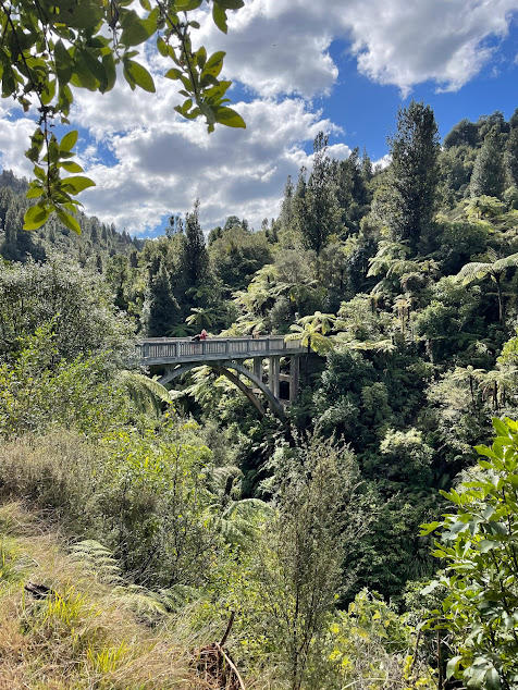
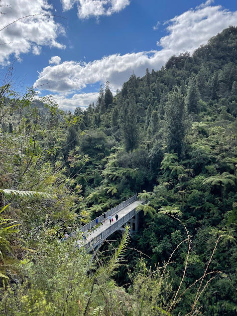
This bridge was built after WW1 as the government gave returning soldiers land in the area to farm. Unfortunately, the land was too remote and difficult to farm on, and most abandoned the area. Already built, with the intention to build more roads to access the bridge, it is now only accessible via canoe, bike track, kayak or jet boat to get to this walking trail.
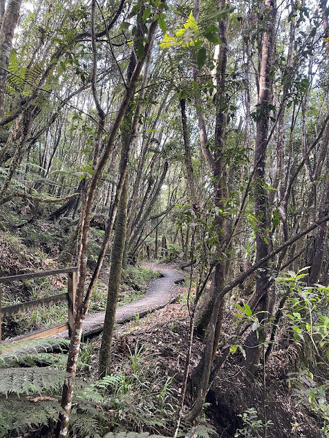
The trail was a nice way to stretch our legs as they were getting stiff sitting in a canoe all day.
2 hours down the river we reached our final hut Tieke Kainga. This is a very special hut, as it is the only Maori Maere on DOC land. When we unpacked, we learned there would be a formal greeting called a tikanga.
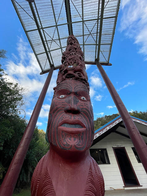
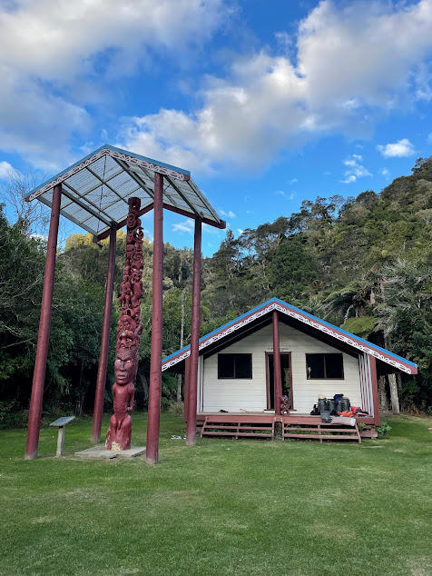
A member of the iwi, tribe, who was leading a group down the river, did the greeting and even invited us into the Maere. It was a once in a lifetime experience!
Here is a breakdown of the journey’s paddling times between stops:
- Taumarunui to Ohinepane – 21.5km – 4.5 hours **recommended by DOC (where we booked)
- Ohinepane to Poukaria – 12km – 2 hours ** recommended by locals (where we stayed)
- Poukaria to Maharaniu – 17km – 3 hours
- Maharanui to Whakahoro – 4km – 1 hour (where we booked & stayed)
- Whakahoro to Mangapapa – 11km – 2 hours **Whakahoro is where the 3 day journey starts
- Mangapapa to Ohauora – 16km – 3 hours
- Ohauora to John Coull – 10.5km – 2 hours (where we booked & stayed)
- John Coull to Mangawaiiti – 9.5km – 2 hours
- Mangawaiiri to Mangapurua (Bridge to Nowhere) – 9km – 1.5 hours **hotspot for jetboats
- Mangapurua to Tieke Kainga – 10.5km – 1.5 hours **only Maori Marae on DOC land (where we booked & stayed)
- Tieke Kainga to Ngaporo – 12.5km – 3 hours
- Ngaporo to Pipiriki – 9km – 1.5 hours
Depending on your canoe company, you will need to get to Pipirki by a certain time as they load up all the canoes at the jetty. From here, they will transport you back to their base where you started. After one final unpacking of your barrels, you are all set to go on your way.
Overall, I would do this river journey again. On saying that, I would only do it in summer and I think the 3 day is enough time. I would recommend a waterproof phone holder… you never know when you might fall in